On a cool and lonely morning, I watched emotively as the full moon set into a distant fog bank beyond the crashing waves in Point Reyes National Seashore.
I thought it was a place where time has stood still for perhaps a century or more.
My intended destination when leaving the hotel on that autumn morning was undetermined.
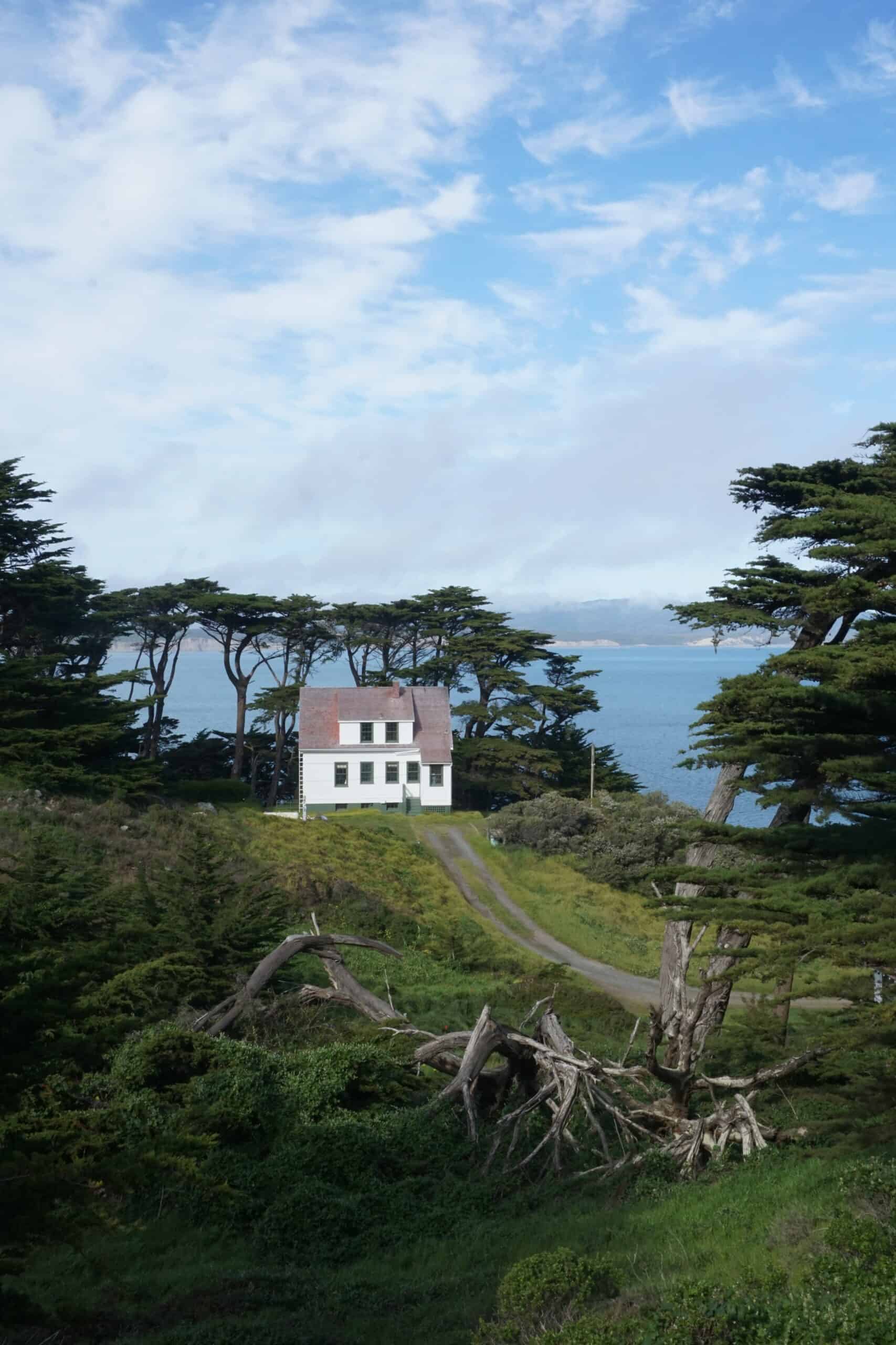
I chose to drive north across San Francisco's Golden Gate Bridge in the dark, loaded down with only my camera and an ambition to take some amazing photographs in a part of the world where I had never been.
On this morning, I randomly drove onto some deserted roads and lovely narrow lanes where I was in the only car for miles around.
I did not know it at the time, but I had accidentally stumbled into what has become one of my favorite spots for a memorable day trip.
That morning was twenty years ago, and since then, I have returned several times.
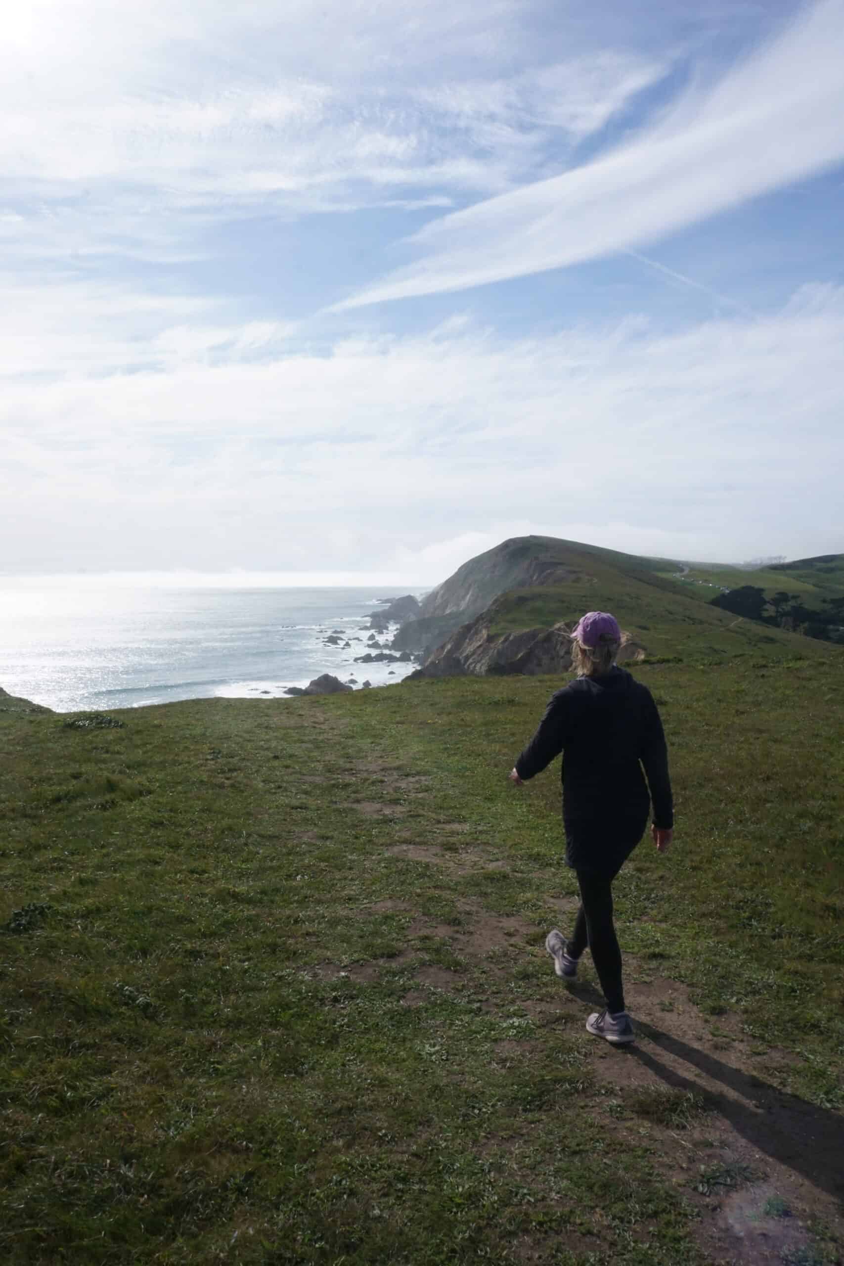
Point Reyes National Seashore is truly a memorable trip, where a day can be spent away from the modern world in a peaceful and historical location.
Cattle ranches and dairy farms have been operating in the area since the 1850s, and they're still going strong.
Driving carefully is essential, as cows and their baby calves can cross the road in front of you.
In 1962, commercial development began to threaten the beauty and uniqueness of the peninsula, so the United States Congress authorized Point Reyes National Seashore to protect scenery and animal habitat.
Today, more than one-third of the land is set aside as wilderness, and the National Park Service administers the park.

Table of Contents
Where is Point Reyes National Seashore?
Located just an hour's drive from San Francisco in the United States, Point Reyes is a peninsula that juts out into the cold, windy, and usually foggy Northern Pacific Ocean.
The drive to Point Reyes is half the fun, too, as the bounty of exotic and beautiful scenery north of the Bay Area is hard to beat.
Tule Elk Reserve
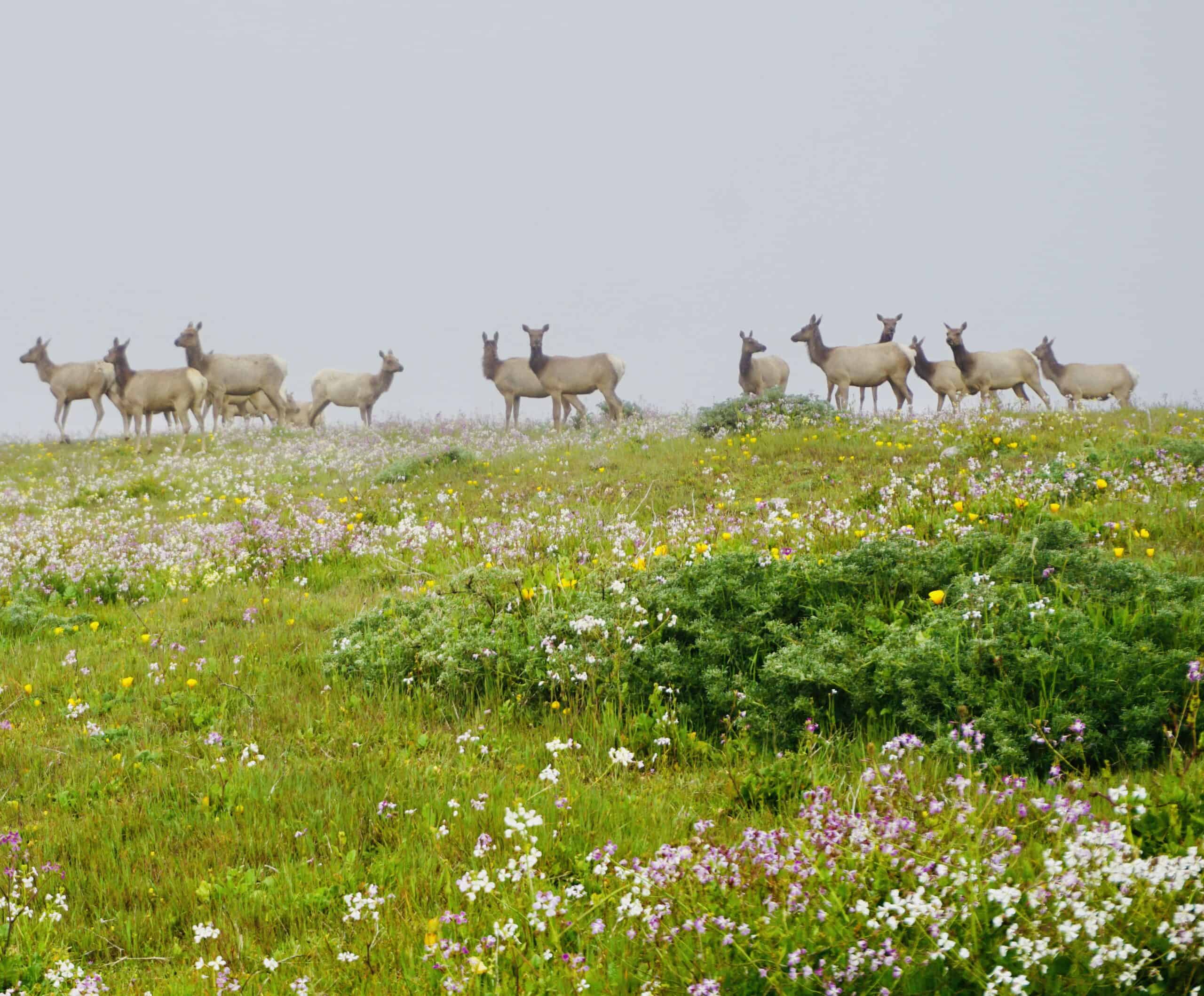
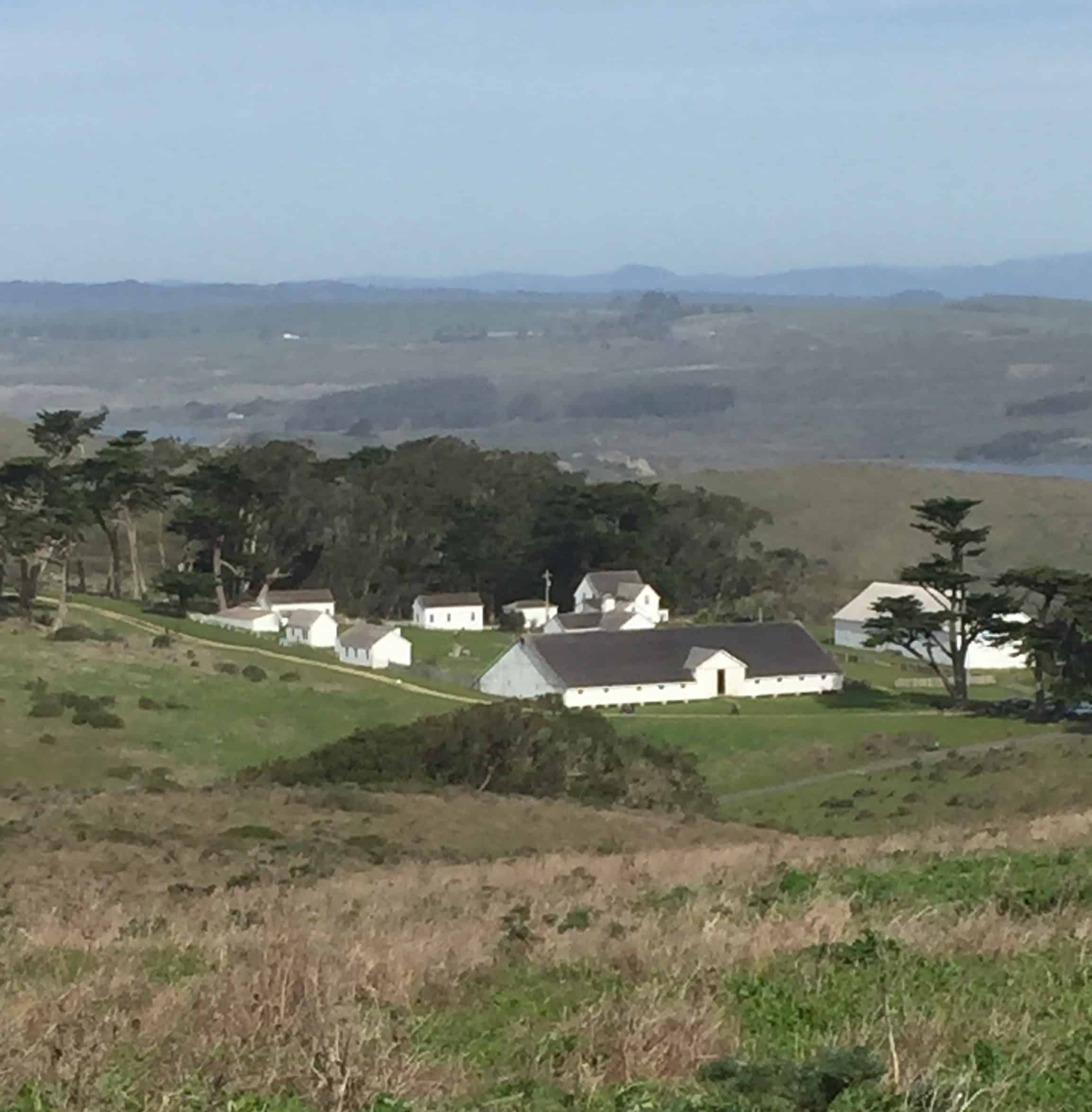
My first move when I visit Point Reyes National Seashore is to take Pierce Point Road to see the herds of elk and the historic Pierce Point Ranch.
I have never seen elk outside of the mountain states of Utah, Wyoming, Idaho, or Montana – so witnessing and photographing huge herds of elk along the beaches of California is a real treat.
Hiking in Point Reyes National Seashore
After arriving at the end of the road, a parking area allows visitors to stop and explore Pierce Point Ranch, hike down a short trail to McClure's Beach, or continue northward for up to 5 miles (8 kilometers) through herds of elk and the end of Tomales Point.
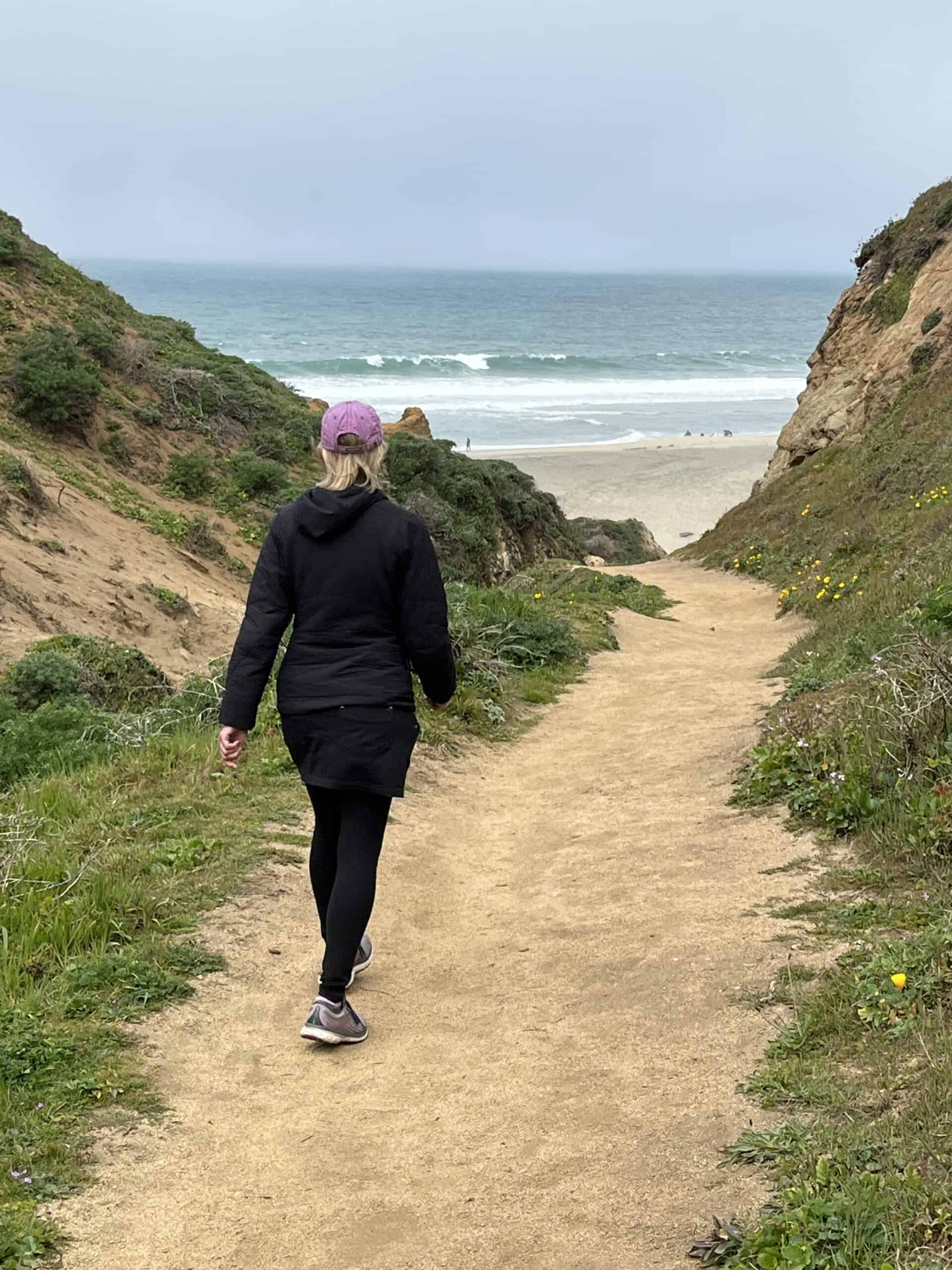
McClure's Beach
On my last visit with CT and her friend Denise, we hiked to McClure's Beach, explored the coast, and dodged the high surf in a nearly empty stretch of endless sand.
McClure's Beach is also known for its tide pools and sea animals nestled among the rocks and swirling water.
The beach seems to go on and on here in both directions, but some rocky outcroppings in the north end of Point Reyes cut the beach into sections.
Hiking from several trailheads will allow the explorer a different experience at each beach.
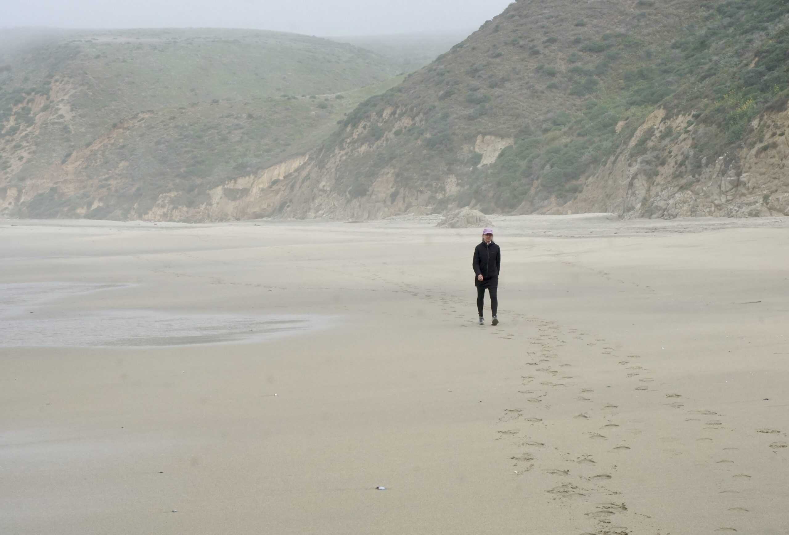
Point Reyes Beach
From two parking lots (north and south beaches), a runner or long hiker can travel on the sand for many uninterrupted hours.
The National Park Service says this beach expands over 11 miles (18 kilometers), making for a significant “out and back” workout.
However, the surf and tides in this area are dangerous, and rip currents and under-tow waves can be deadly.
Point Reyes National Seashore has more than 150 miles of trails for hiking, running, bird watching, and on a few routes – biking.
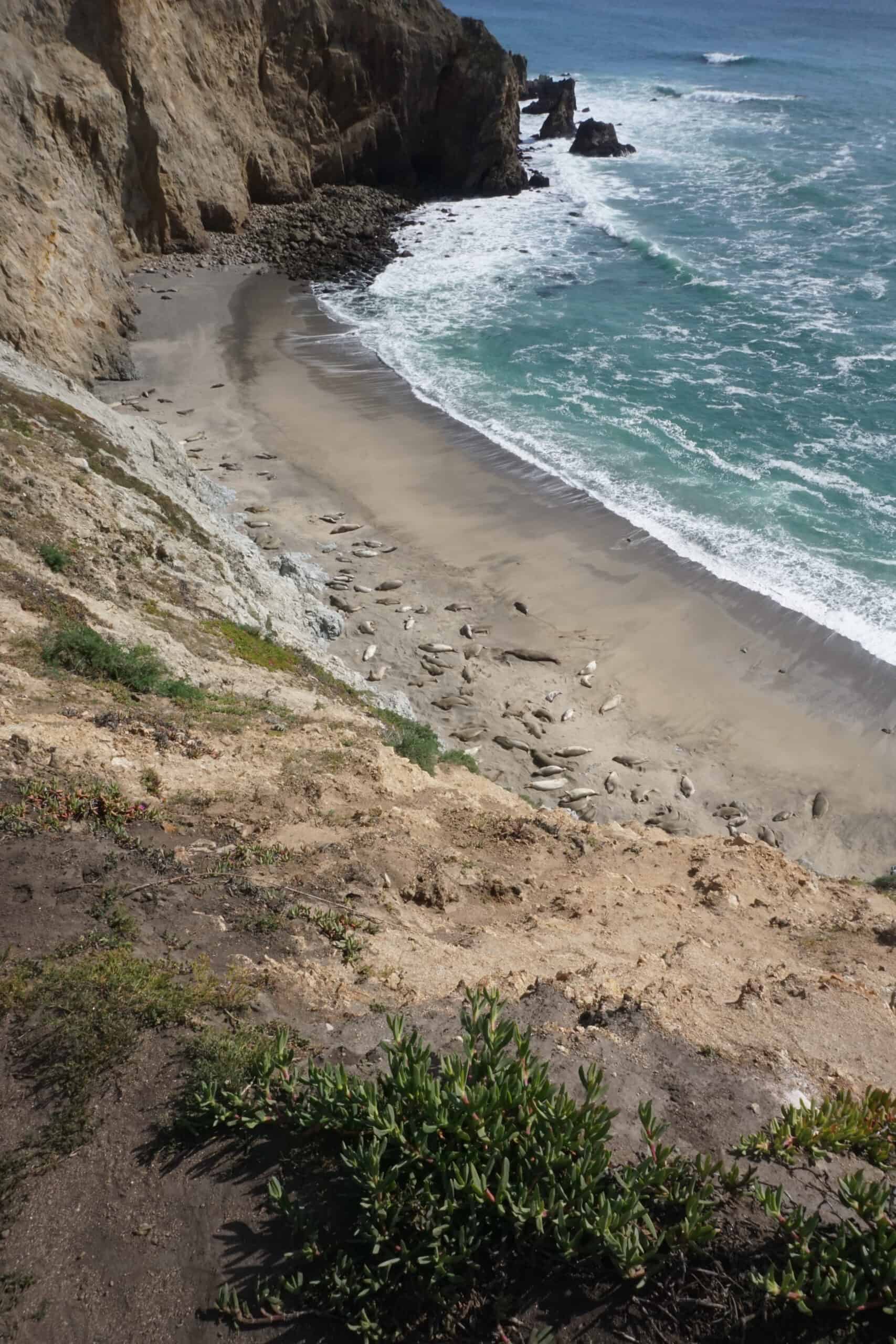
Chimney Rock Peninsula
On a recent visit, we ventured out to a spot called Chimney Rock and hiked to the end of the high cliffs with distant views of this southernmost point.
This section of the park has several beaches at the bottom of large bluffs where elephant seals bask in the sun during the breeding season.
This area was also finely decorated with millions of wildflowers during our March trip here.
The deeply-hued Pacific Ocean is in all directions. The emerald grasses, newly leaved shrubs, and the famous cypress tree of California, Callitropsis macrocarpa, fill the visitor's eye with a variable spectrum of green and blue.
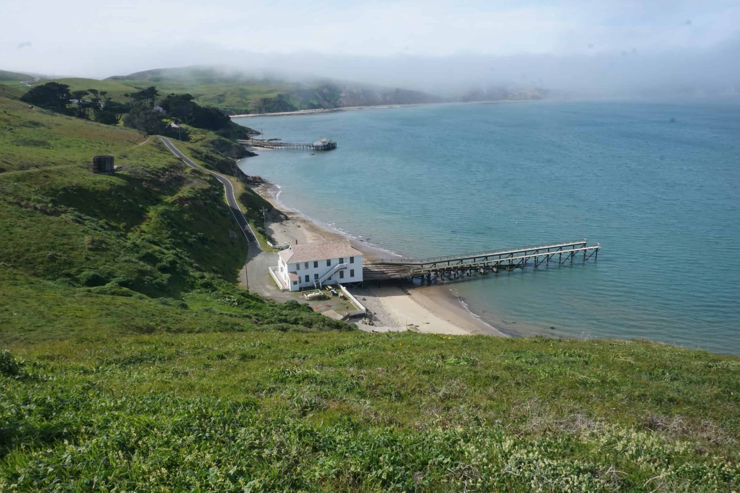
Point Reyes Lighthouse
Twenty years ago, when I first visited Point Reyes National Seashore, I was practically alone in this vast wilderness.
I was greeted by a herd of elk and a smattering of cattle grazing on the foggy hillsides.
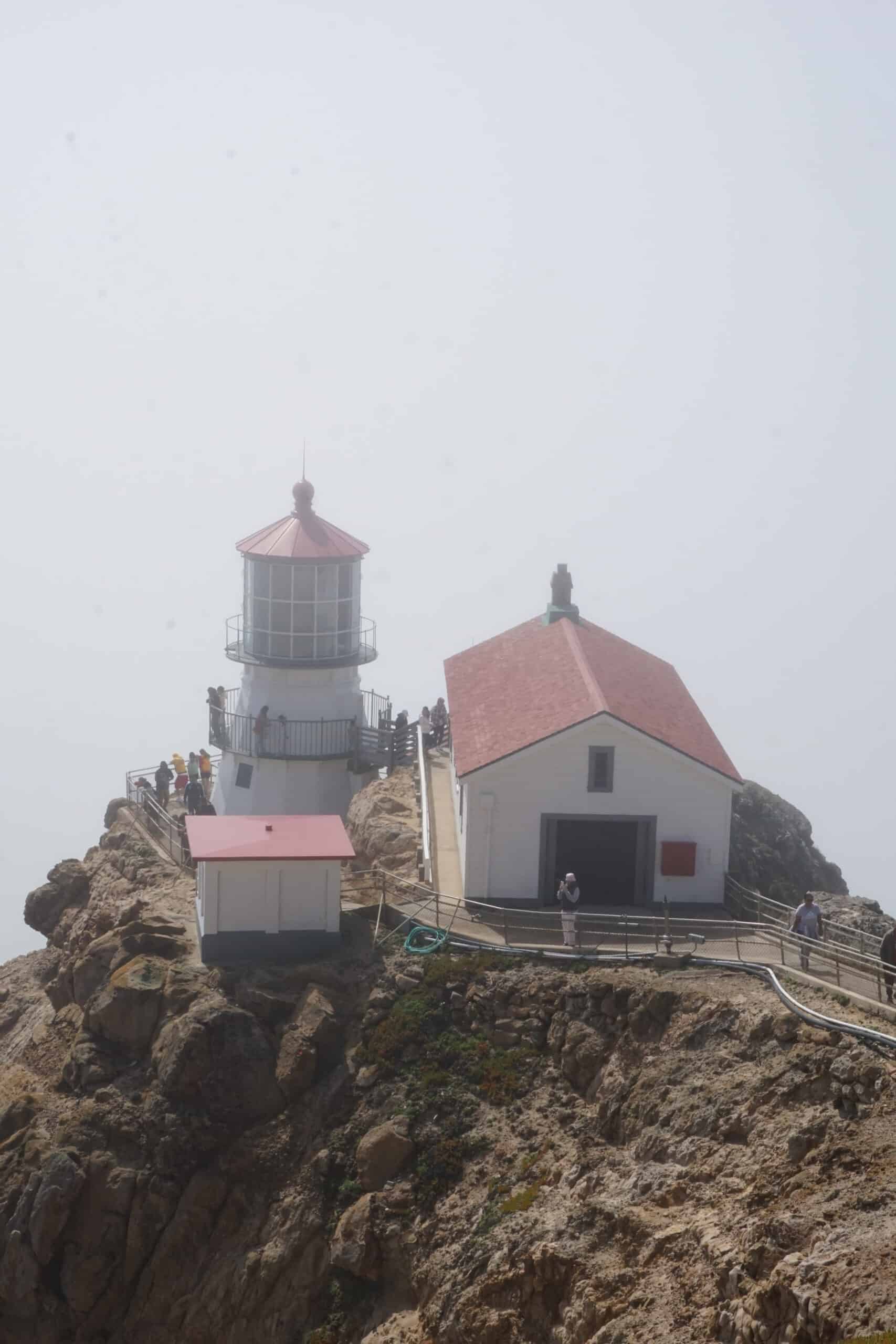
When I arrived at the lighthouse, I drove my car directly to a narrow spot at the top of 400 step stairway where a gate was locked.
I took a photo on that day without any people in it, and there was no sign at all of any National Park personnel anywhere.
It had all changed very much two decades later, and the car must be parked nearly a half-mile ( 800 meters) away.
My former parking spot is now a small visitor's center staffed with park rangers and interactive displays.
Related: World's Most Interesting Lighthouses
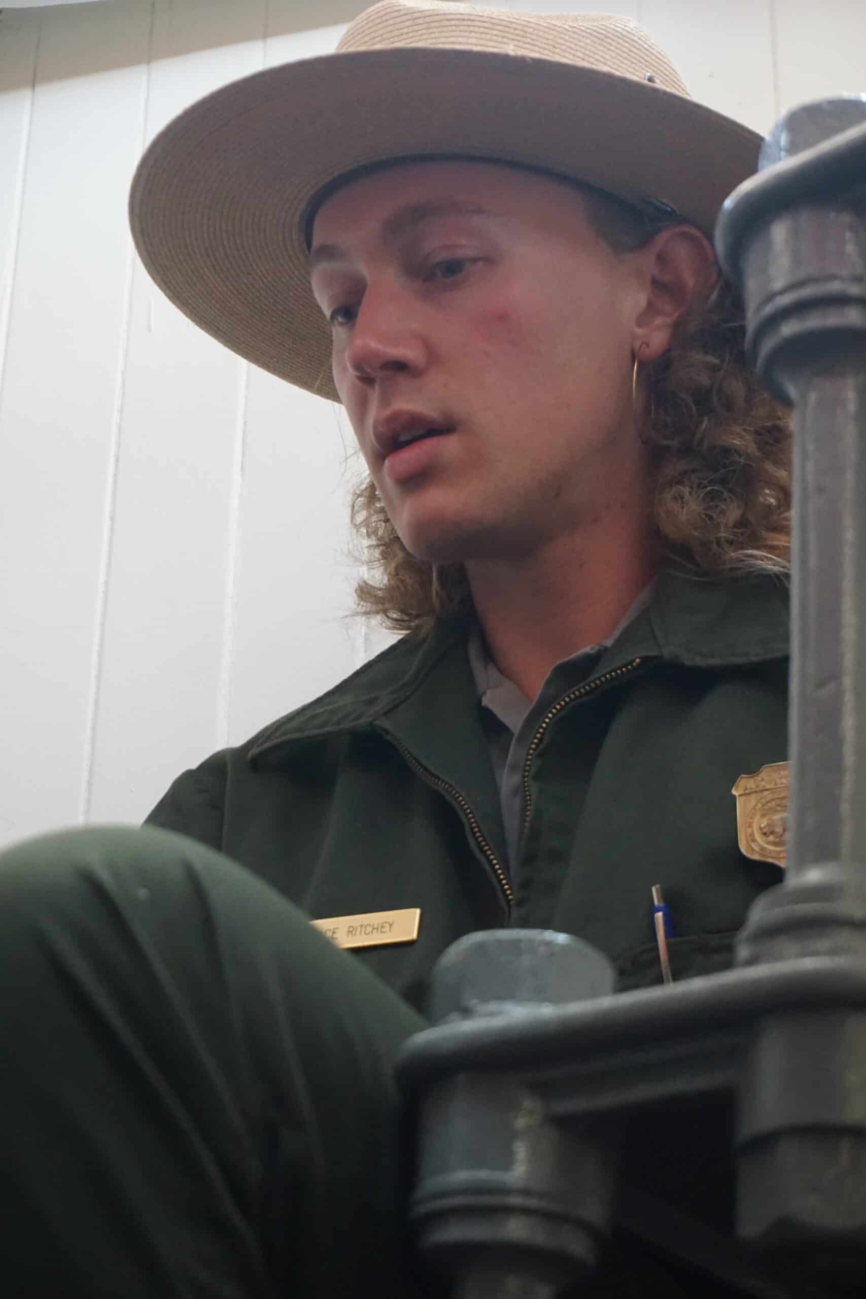
The lighthouse grounds are open to the public if you are willing to hike down – and back up the 400 steps, and on weekends you can get inside the lighthouse and hear a short historical and technical presentation.
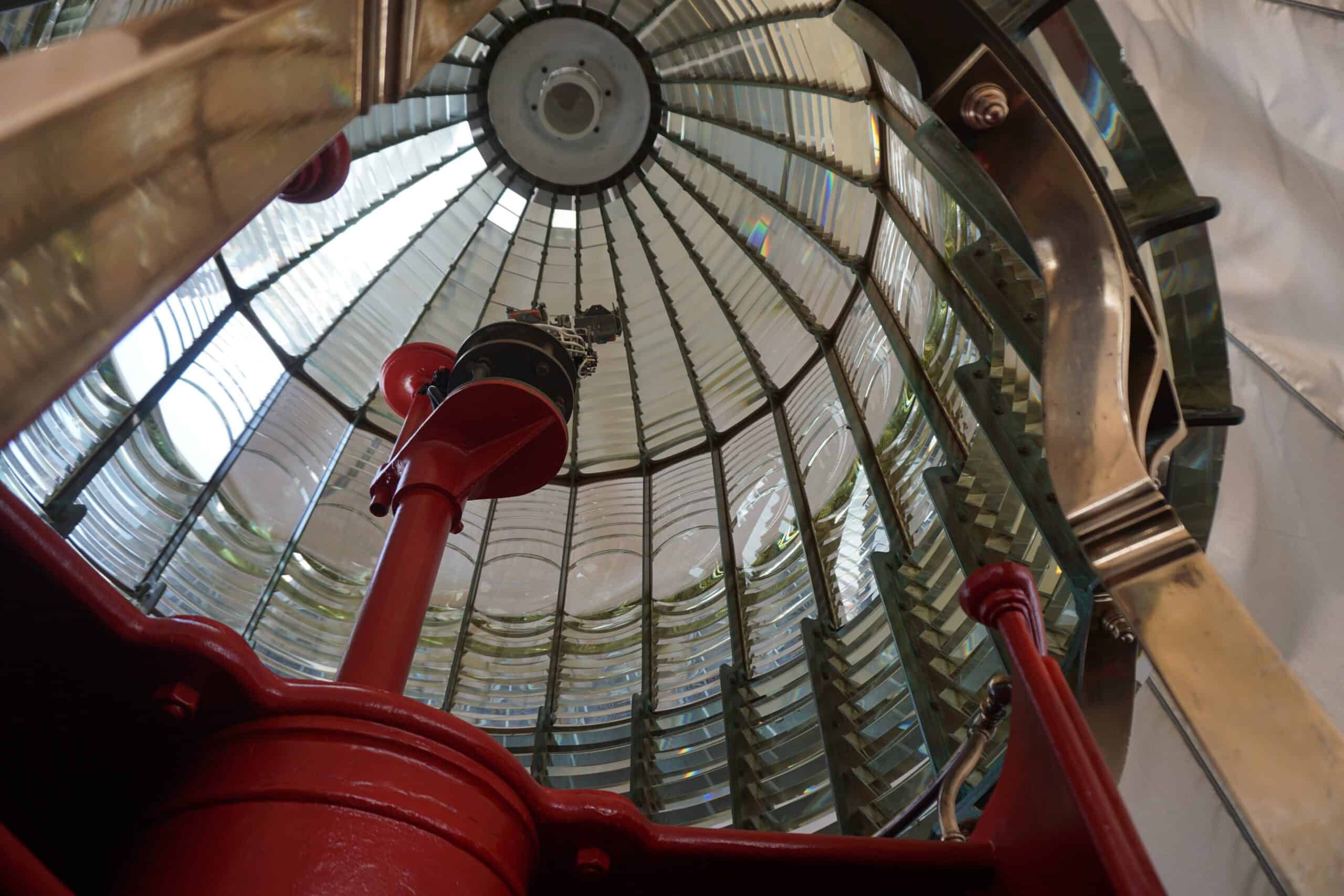
We learn how the lighthouse's crystal pieces and mechanical clockworks were built in France around 1867 and then shipped by boat and train to Point Reyes.
It would have been a journey of many thousands of miles and several months.
The lighthouse was the newest technology available – built on the design and invention of Augustine Fresnel – where the light was redirected through hundreds of refraction points and into large telescopic lenses.
This new lighthouse technology sent carefully timed light signals to the horizon, some 24 miles (40 kilometers) away.
Before Fresnel's ingenious design, a mirrored lighthouse could only reach ships one-third as far.
It was an important piece of equipment as at least 30 large vessels were shipwrecked, and many lives were lost around the Point Reyes area.
Related: Hiking to the Makapu'u Lighthouse
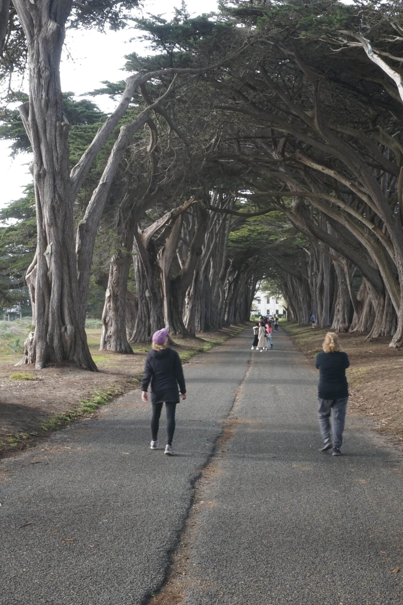
The Cypress Tree Tunnel
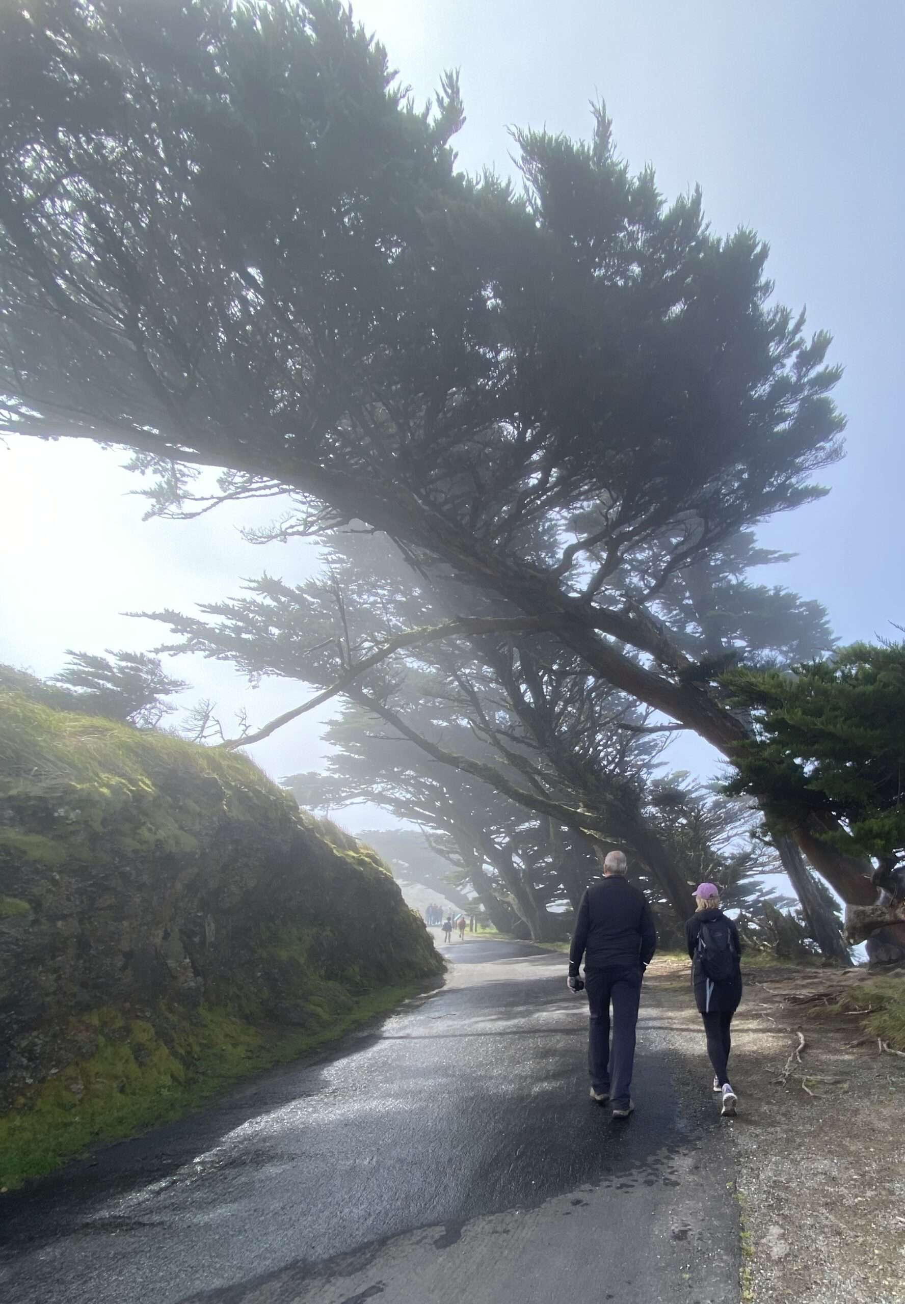
Planted more than 90 years ago, Monterey Cypress trees now create a “tree tunnel” at the old Radio Corporation of America (RCA) building, which was a KPH Maritime Radio Receiving Station.
The Monterey Cypress (see above) is one of the few tree species which can thrive in the harsh, windy, and wet ocean weather conditions at Point Reyes.
During most of the 1900s, the RCA Station provided ship-to-shore communications.
Years ago, the West Coast of the United States was dotted with Morse code radio stations to communicate with ocean-going vessels.
The building at the end of the Cypress Tree Tunnel is the last one remaining.
Backpacking and Camping
Several Trails in Point Reyes lead to designated campsites where backpackers can enjoy a night or two in this coastal wilderness. Our goal is to make a 2-night trip here in the near future.
The trails leading to campsites are up to 6.7 miles long, with others being much shorter.
All campers must get a fire permit from the main visitor's center to have any wood-burning fire and have a camping reservation from Recreation.gov to spend the night.
Campgrounds are available on the beach or in the hills with stunning views.

Kayaking
Boating in a kayak or canoe is very popular in the area of Point Reyes.
While most of the Point Reyes Peninsula is Federal Land, some of it is private property, and an abundance portion is part of California's Tomales Bay State Park.
Both day-use trips and boat-in camping are allowed in the area, and some deep research will be required before setting out on any of these trips.
There are at least 15 designated campsites for boat-in camping in Tomales Bay.
Private outfitters are available near the town of Inverness, where visitors can rent both boats and expert guides.
As avid Kayakers, we look forward to this trip as well.
Whether your journey here is to hike and explore for the day, or you plan to camp via backpacking or kayaking, Point Reyes National Seashore can help you make memories for a lifetime.
***
I have spent time at Point Reyes National Seashore at various times. If you want the whole national park experience, go on the weekend.
If you would rather find old-time solitude and a less commercial experience, show up on a weekday morning. Either way, Point Reyes National Seashore is a great place to visit.
For more info, visit the Point Reyes park service website.
Traveler, Adventurer, Writer, Photographer
Planning a trip? Go Backpacking recommends:
- G Adventures for small group tours.
- Hostelworld for booking hostels.
