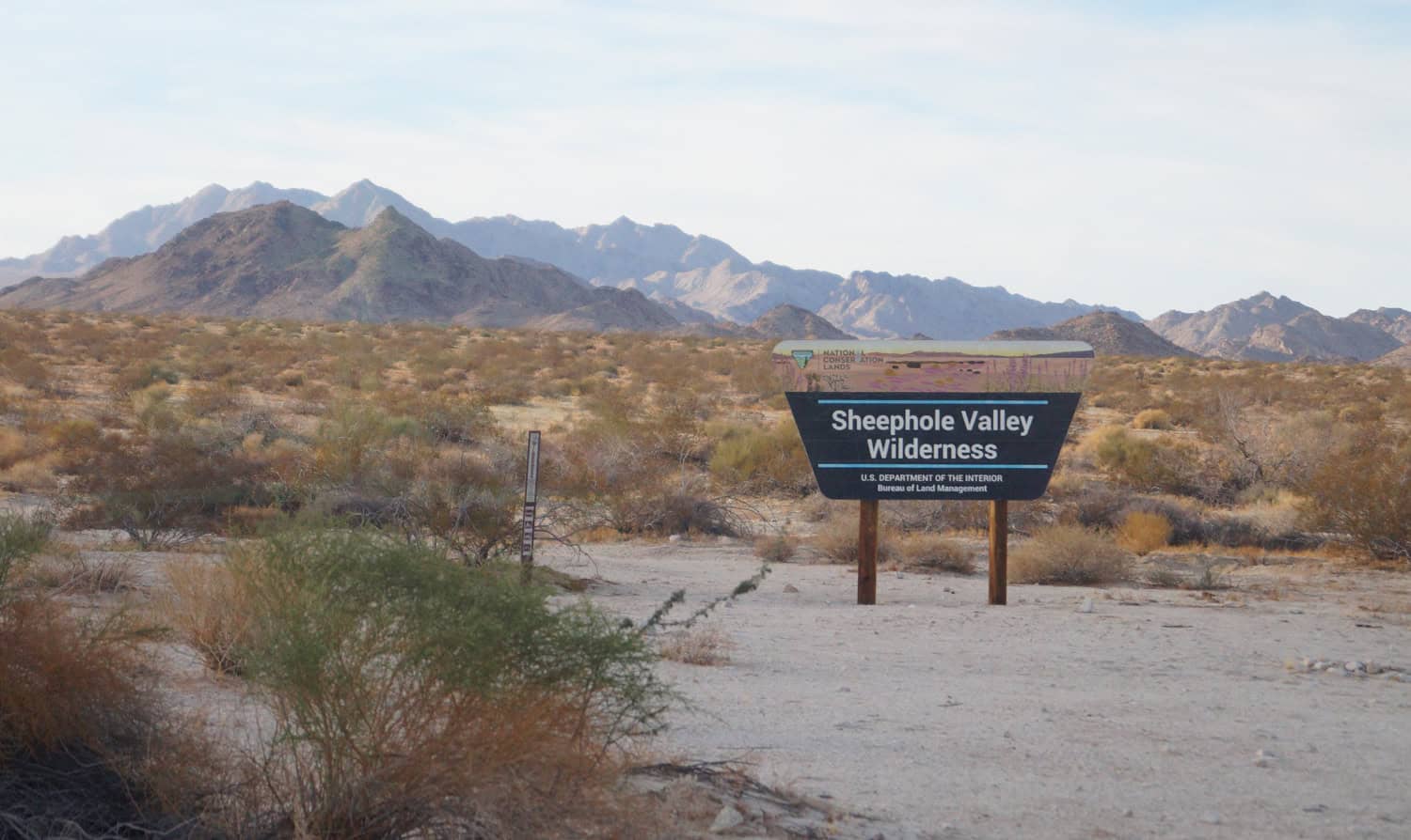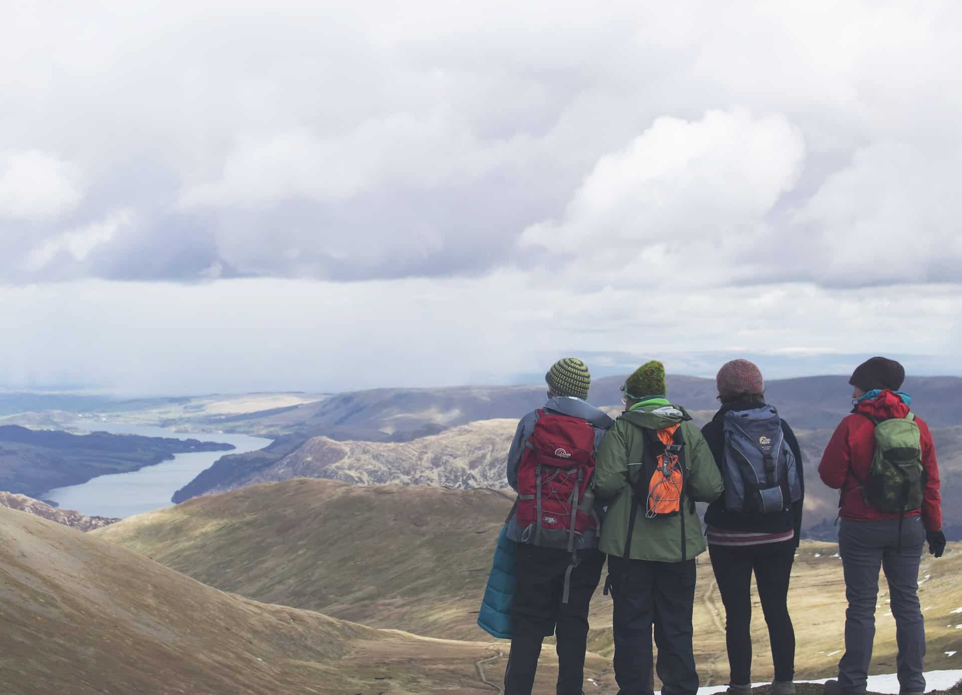
A few weeks into my backpacking trip to Turkey, I hopped on a Turkish Airlines flight to Tbilisi, Georgia, to explore the region further. Tbilisi is the capital of Georgia and home to about 1.5 million of the country's 3.7 million people.
Georgia borders Turkey to the southwest, Armenia and Azerbaijan to the south, and Russia to the north and east.
It has proven to be a tricky place to maintain national sovereignty. For example, let's examine the last two hundred years.
The Russian Empire annexed Georgia in September 1801. Georgia declared independence on May 26, 1918, but its freedom didn't last long.
The Soviet Union took control of Georgia in 1922 following the end of World War I. When the U.S.S.R. fell apart in 1991, Georgia regained its independence.
As the country aligned itself with Western Europe, Russia invaded Georgia in 2008 and has occupied several regions in the east ever since.
I share this recent history of conflict in light of Russia's cruel war in Ukraine today and because my May visit to Tbilisi coincided with Georgia's annual Independence Day celebrations.
Table of Contents
- Tbilisi Attractions
- 1. Walk the Old Town
- 2. Sioni Cathedral
- 3. The Bridge of Peace
- 4. Narikala Fortress
- 5. Mother of Georgia
- 6. National Botanical Garden
- 7. Clock Tower at Gabriadze Theatre
- 8. Georgia National Museum
- 9. Freedom Square
- 10. Mtatsminda Park
- 11. Holy Trinity Cathedral of Tbilisi
- 12. Eat Khachapuri
- 13. Enjoy the Nightlife
Tbilisi Attractions
Let's move from the history lesson to the best things to do in Tbilisi. I had a wonderful time exploring the Georgian capital over several days. I rented a private room through Airbnb, which gave me easy access to downtown Tbilisi.
1. Walk the Old Town
Going for a walk is one of the easiest ways to get your bearings in a new city, so I did just that the morning after arriving in Tbilisi.
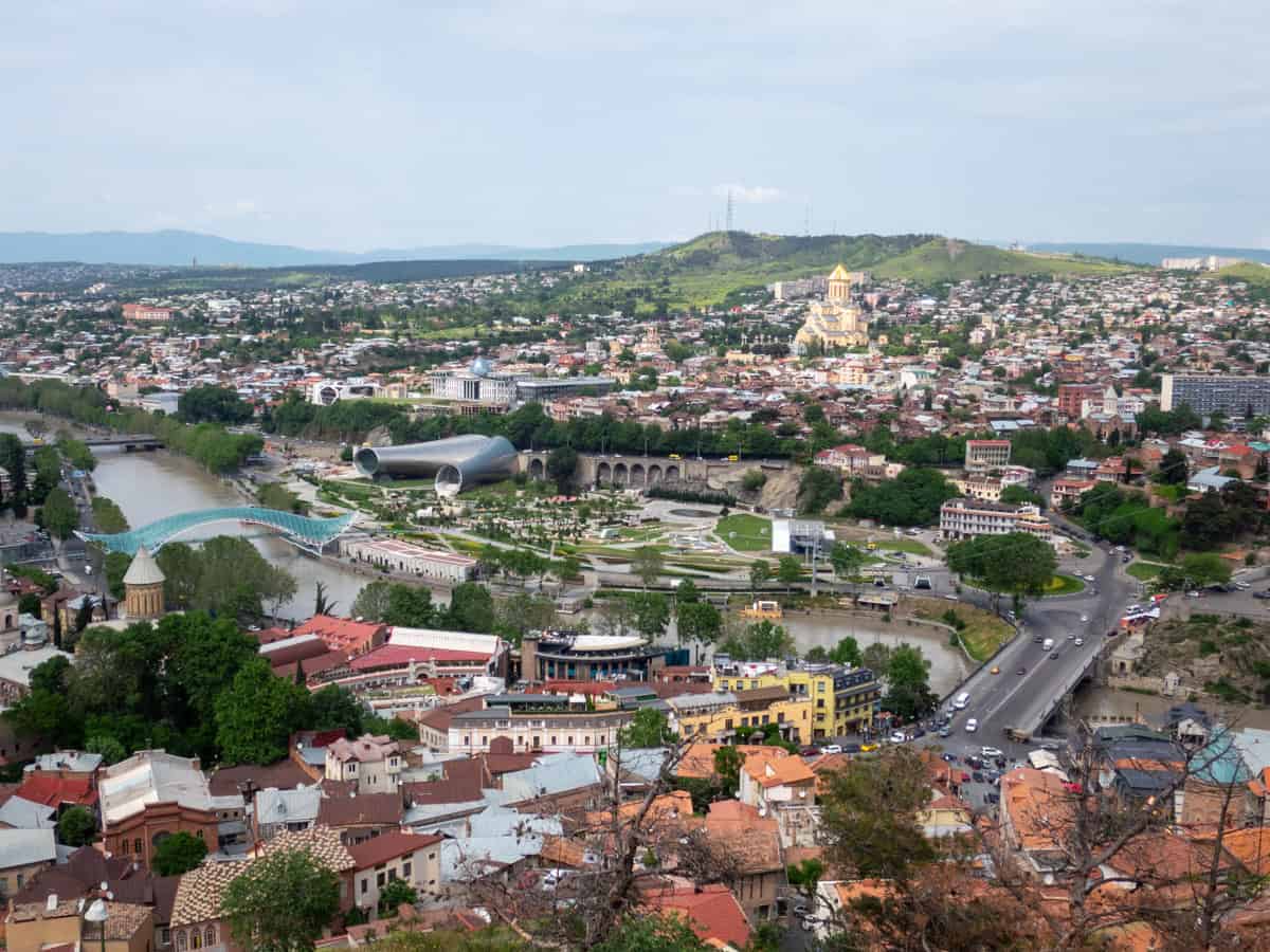
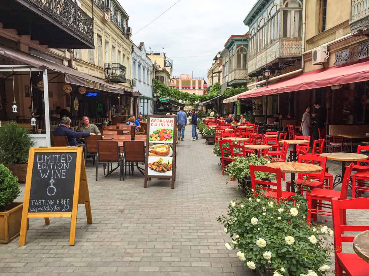
The Old Town extends west from the left bank of the Kura River, which passes through central Tbilisi. Pedestrian-friendly roads and alleys are lined with shops and restaurants to explore.
2. Sioni Cathedral
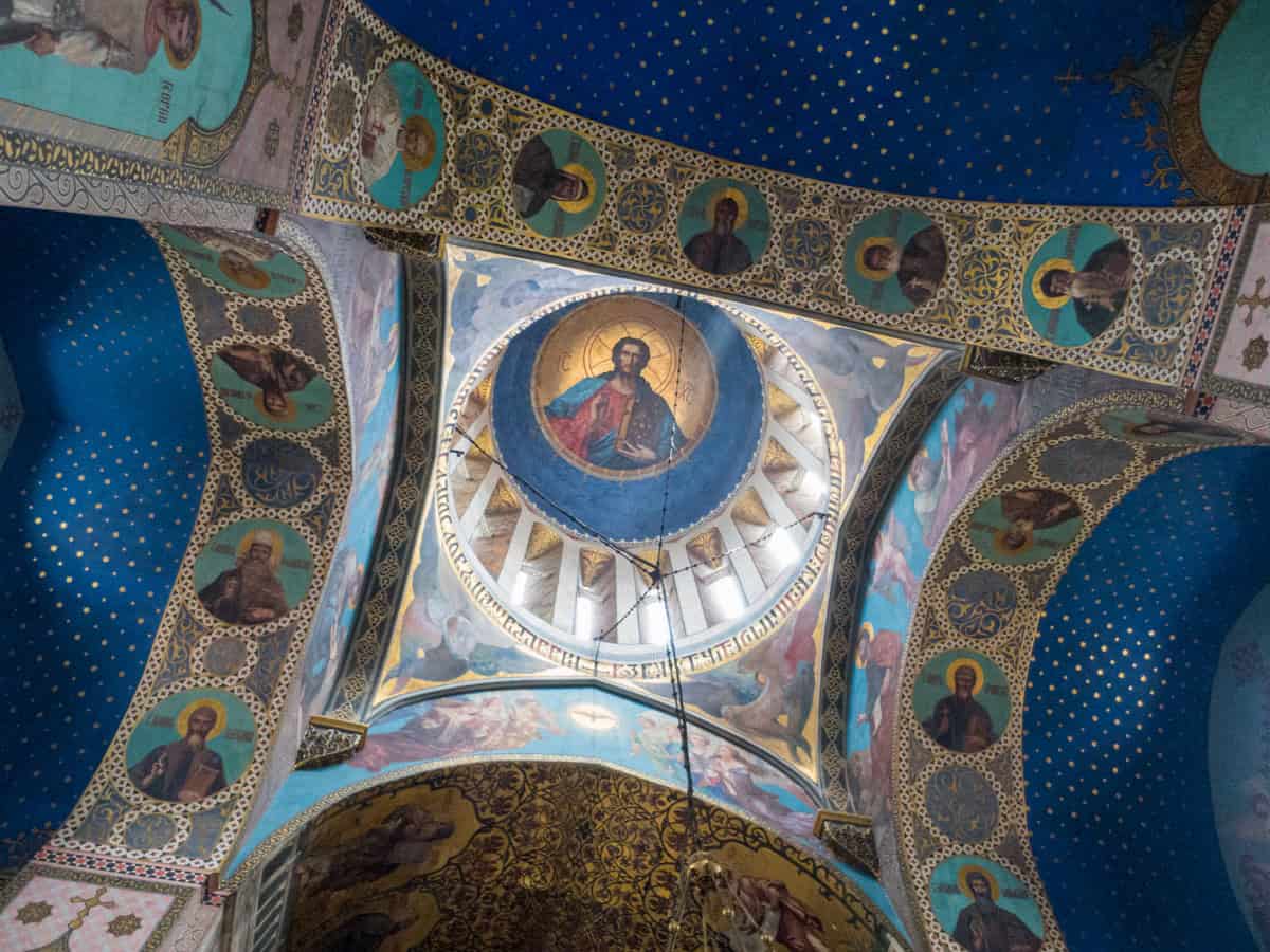
The first significant landmark I saw was Sioni Cathedral, a Georgian Orthodox cathedral named after Mount Zion in Jerusalem.
A church was initially built here in the 6th and 7th centuries. However, it has been destroyed by invaders and rebuilt several times since then.
The current version is based on a 13th-century design. The rather plain exterior belies a beautiful interior, rich in colorfully painted frescoes. Address: 3 Sioni St, Tbilisi
3. The Bridge of Peace
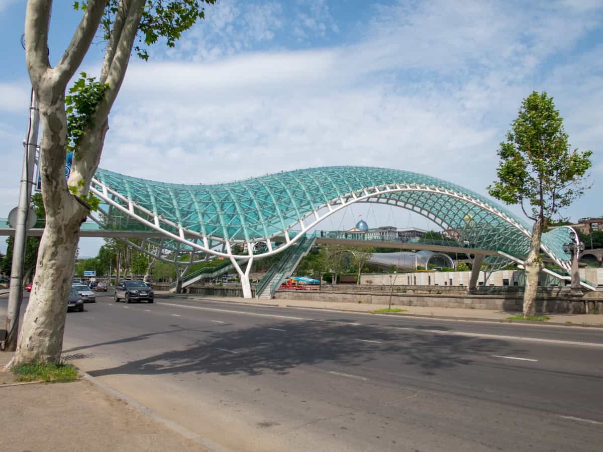
From Sioni Cathedral, it's only about a block's walk north to the Bridge of Peace. Opened in 2010, this modern steel-and-glass pedestrian bridge connects Old Tbilisi with Rike Park and the Tbilisi cable car, which travels to Narikala Fortress.
An interactive light display runs daily from 90 minutes before sunset until 90 minutes after sunrise.
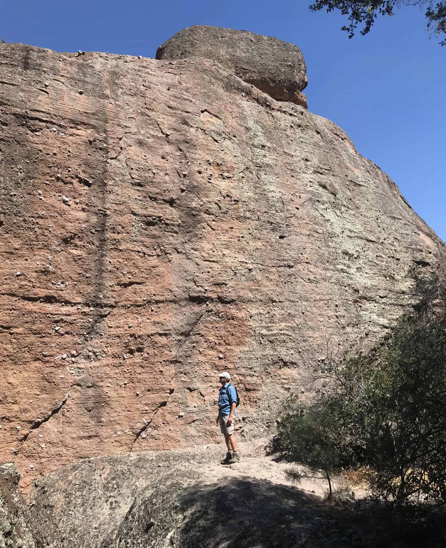
4. Narikala Fortress
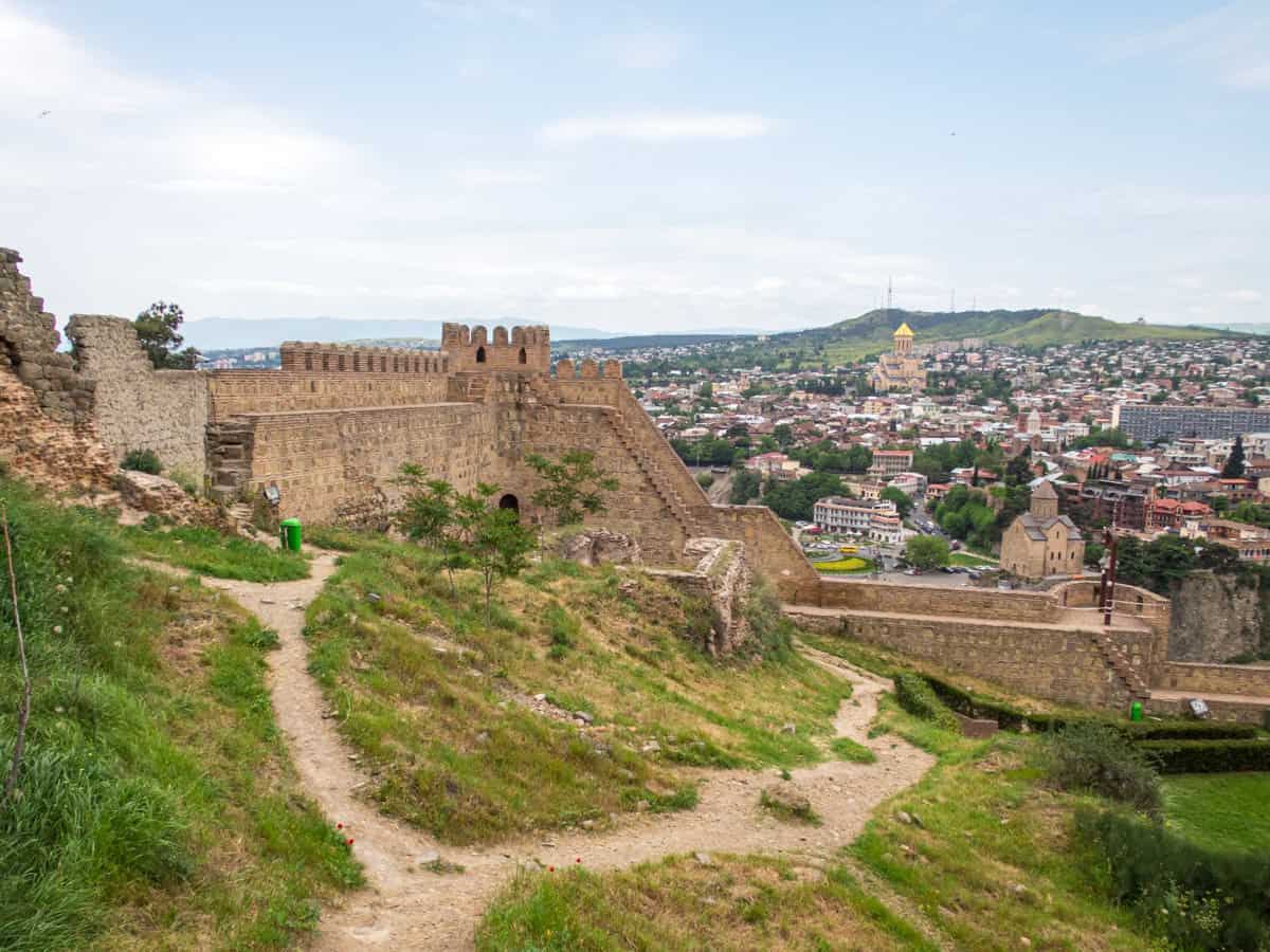
Narikala Fortress, an ancient citadel dating back to the 4th century AD, is situated above Tbilisi and offers a commanding view of the surrounding area.
The best way to visit Narikala is to take the cable car on the eastern side of the Kura River. There's not much to see of the fortress ruins; however, the city views are incredible.
For example, looking eastward, you'll see the city's ancient public baths. If you're in the mood for sulfur baths, you can pay by the hour at places like Chreli Abano & Spa.
Related: Taking a Turkish Bath
5. Mother of Georgia
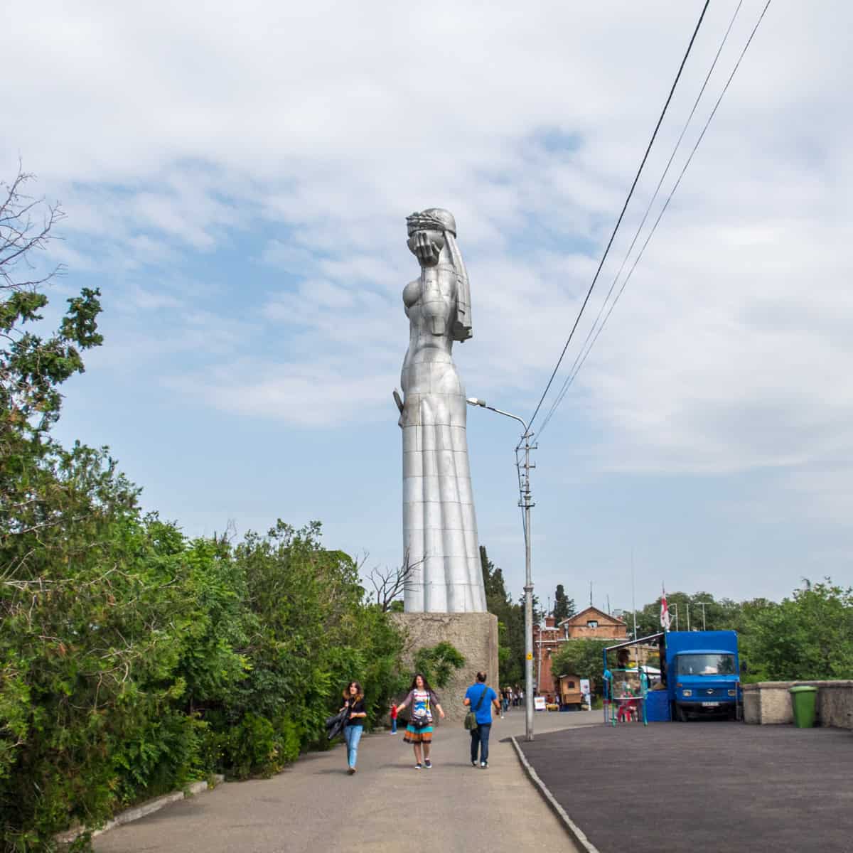
Walk west along the ridge, and you'll see the larger-than-life, all-aluminum Mother Georgia statue, which was placed there in 1958.
6. National Botanical Garden
In addition to the fortress and statue, a third attraction draws visitors to take the cable car. The National Botanical Garden of Georgia occupies 398 acres in the Tsavkisis-Tskali Gorge.
The park is open daily from 9:00 a.m. to 7:30 p.m. Address: 12 Bambis Rigi Street, Tbilisi.
7. Clock Tower at Gabriadze Theatre
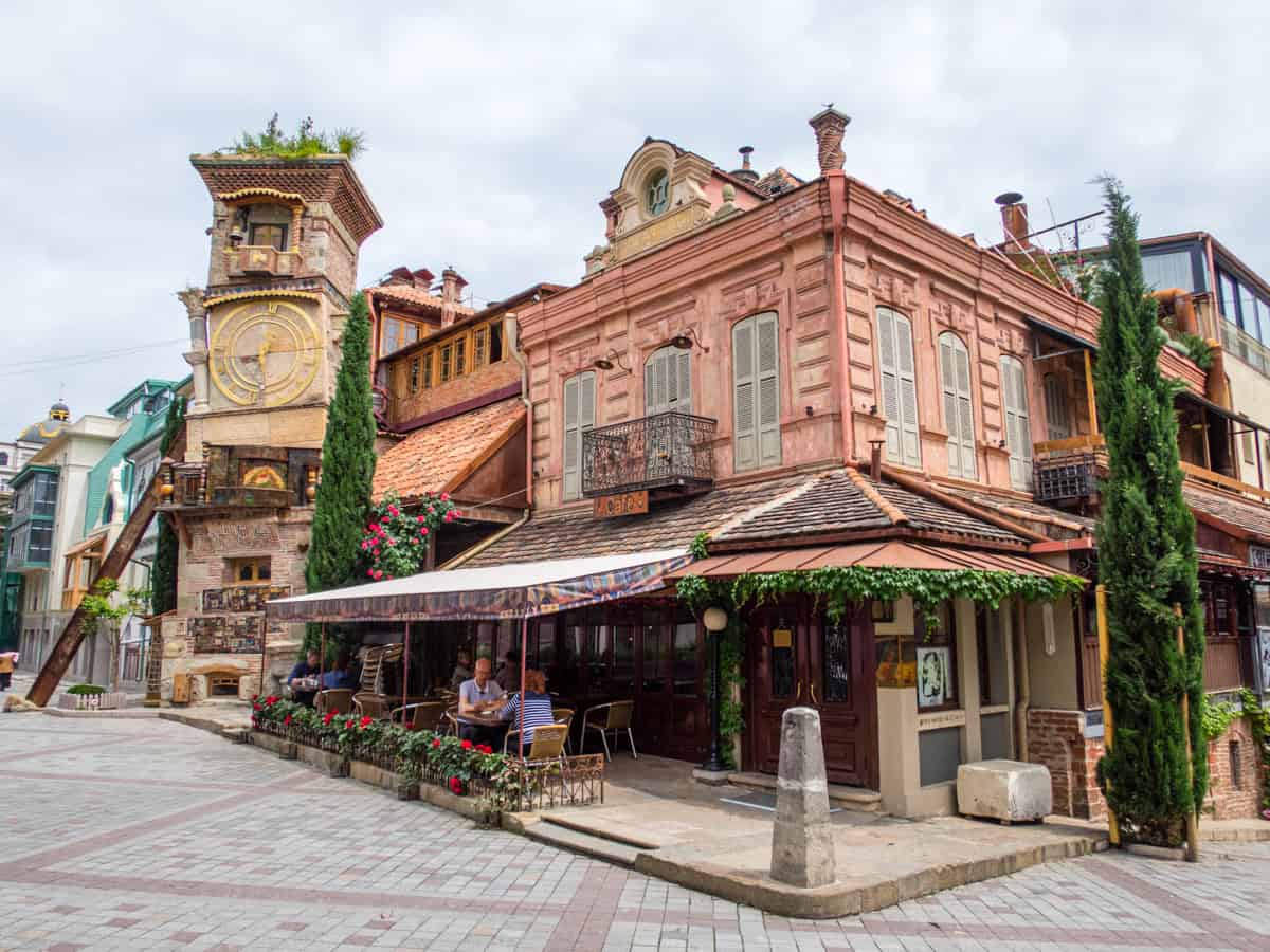
Returning to street level in Tbilisi's Old Town, I found the leaning Clock Tower at the Rezo Gabriadze Marionette Theater. The building was designed by artist, writer, and director Rezo Gabriadze.
The theater hosts puppet shows, one of which I attended during my stay in the city. The hour-long Ramona is a love story with trains as the main characters.
The Gabriadze Theatre is one of the premier destinations for experiencing Georgian culture and family-friendly entertainment. Address: 13 Ioane Shavteli St, Tbilisi
8. Georgia National Museum
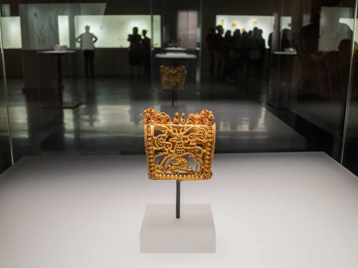
A ten-minute walk west of the Gabriadze Theatre is the Georgia National Museum, dedicated to preserving the country's cultural heritage.
The national museum unified five other museums:
- Museum of Georgia
- Museum of Soviet Occupation
- Museum of Fine Arts
- Open Air Museum of Ethnography
- Tbilisi History Museum
The Georgian National Museum is open from 10 a.m. to 6 p.m., Tuesday through Sunday. Address: 3 Shota Rustaveli Ave, Tbilisi
Related: Georgia Travel Guide
9. Freedom Square
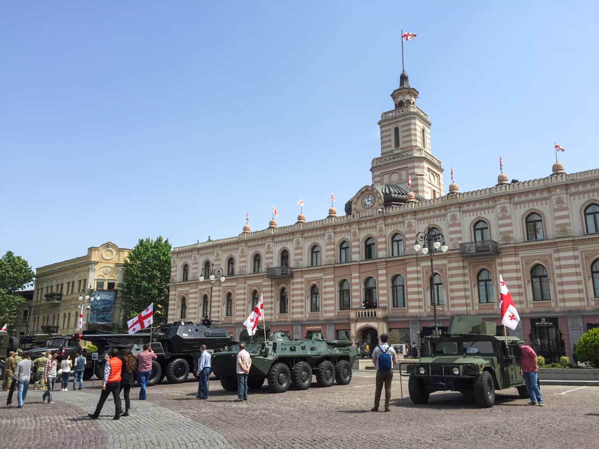
Walk one block south on Rustaveli Avenue from the Georgia National Museum, and you'll arrive at Freedom Square (also known as Liberty Square).
The 115-foot-tall granite and gold Freedom Monument (also known as the Monument of St. George), a memorial to Georgia's independence, stands tall at the center of the cobblestone square.
I walked through the empty square. Three days later, on May 26, I returned to watch a government service celebrating Georgia's Independence Day.
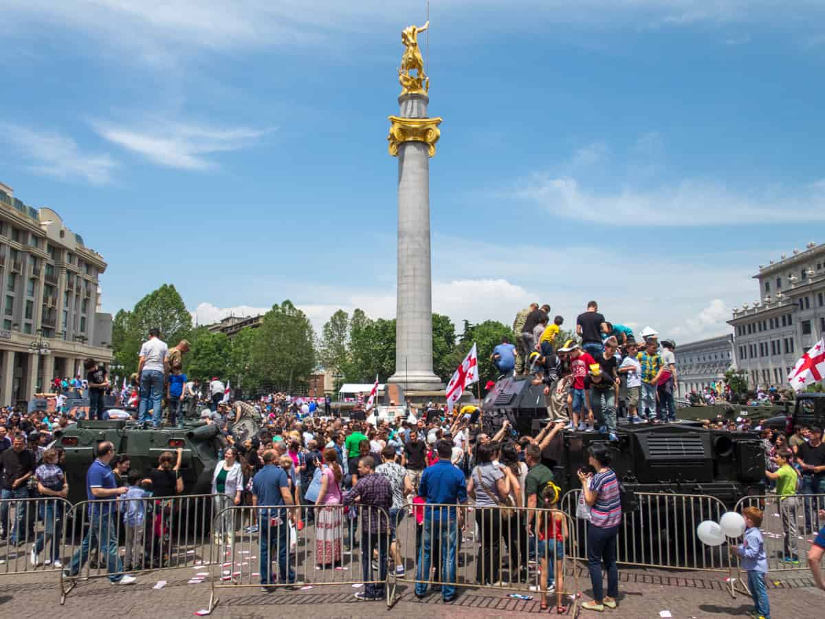
Military vehicles, including tanks, armored personnel carriers, and rocket launchers, were parked around the square. Attendees could climb onto the vehicles after public speakers and a flyover by Georgian fighter jets and helicopters.
Children were helped onto the trucks and tanks, creating a scene of pride and joy that I won't forget. Address: 11 Aleksandr Pushkin St, Tbilisi
10. Mtatsminda Park
Mtatsminda Park is another popular place in the mountains above Tbilisi. The amusement park, which opened in the 1930s, offers visitors rides on a Ferris wheel and a roller coaster, access to a zoo, cafes, restaurants, and excellent views of the city below.
Mtatsminda Park is accessible via a funicular and is open daily from noon to 11 p.m.
11. Holy Trinity Cathedral of Tbilisi
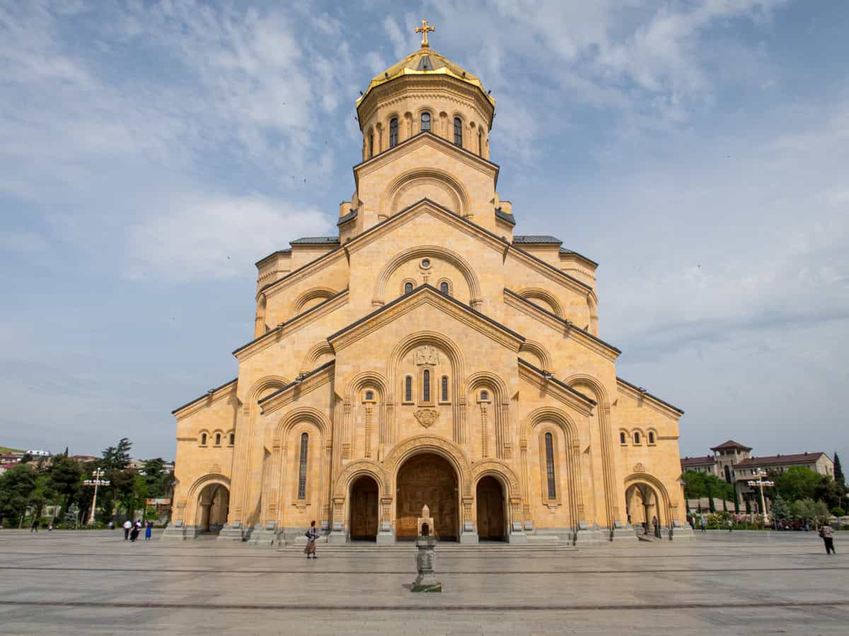
One of the most beautiful buildings in the capital city is the Holy Trinity Cathedral. Although it may look like it has been part of Tbilisi's cityscape for centuries, it's the new kid on the block.
The foundation for this incredible 328-foot (100-meter) tall cathedral was laid in 1995, and it was consecrated nine years later, on November 23, 2004.
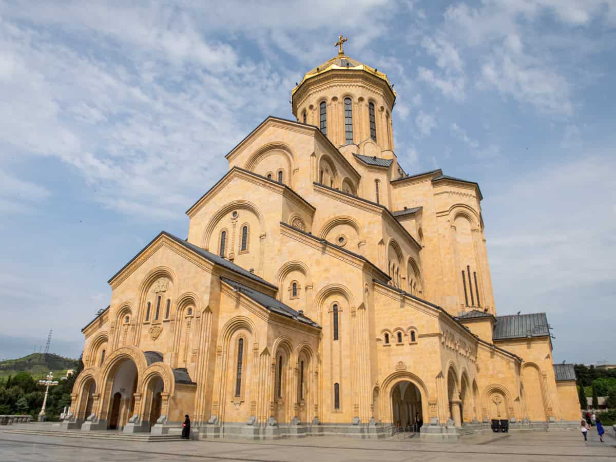
The cathedral is situated on the eastern bank of the Kura River, and the walk up to it is pretty dramatic. I was fascinated by the symmetry of this incredible place's exterior design, whereas the interior was rather plain by comparison.
See also: Adventure Tours in Georgia
12. Eat Khachapuri

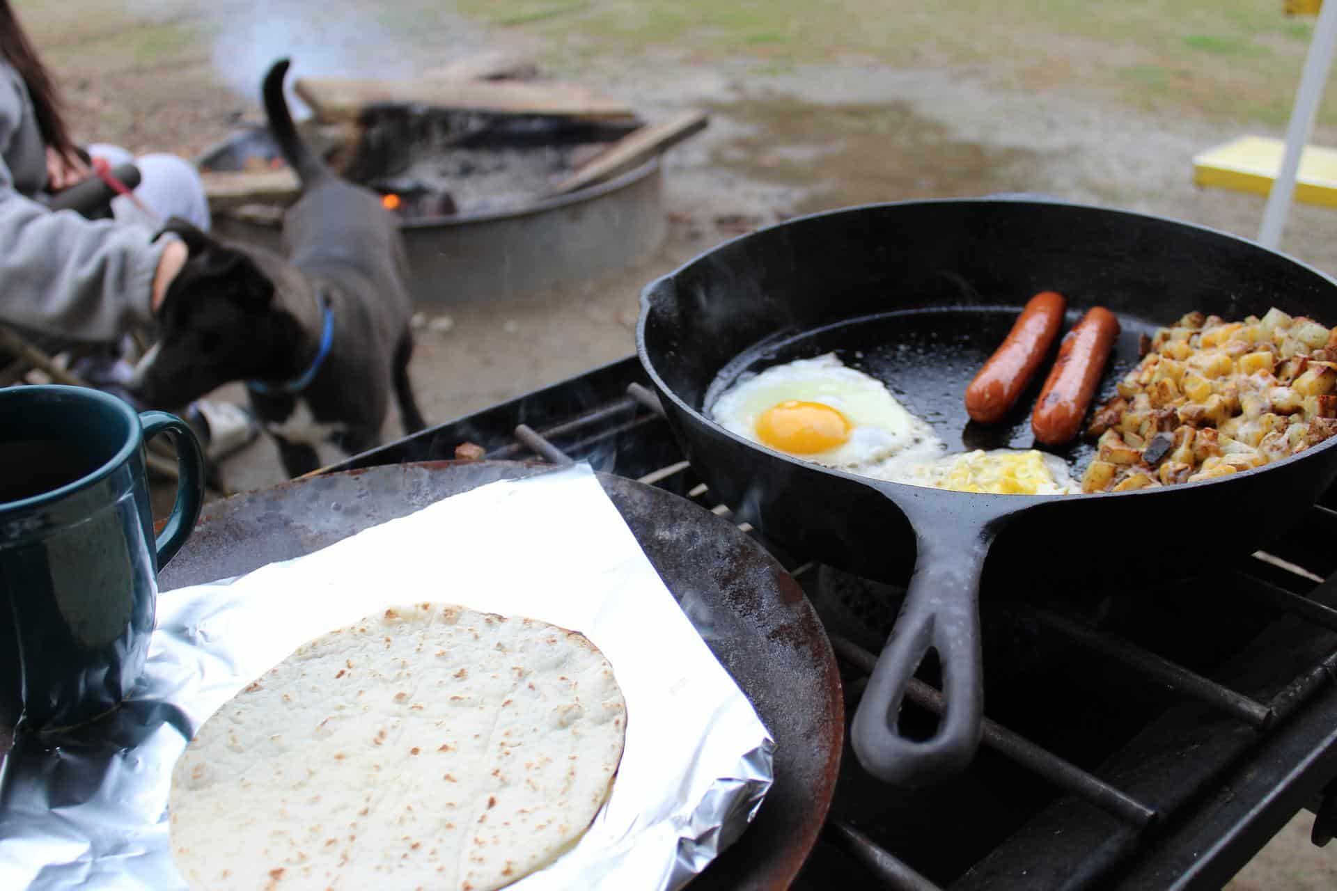
To conclude this list of the top things to do in Tbilisi, I must mention the Georgian cuisine. Specifically, Khachapuri is the star of Georgian cuisine in my book.
Khachapuri is a cheese-filled bread that can be eaten on its own or with additional toppings, such as eggs (as pictured above).
Khachapuri is a delicious staple of the Georgian diet. It's available almost everywhere, from street vendors to restaurants, and can be baked at home. I couldn't get enough of it during my ten-day trip.
13. Enjoy the Nightlife
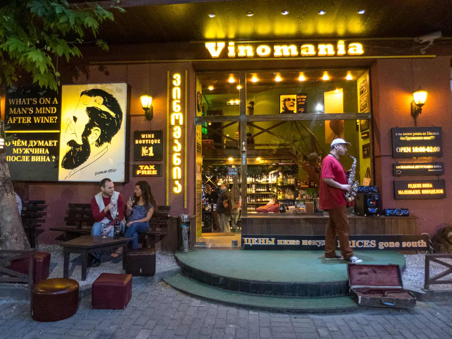
Lastly, I would like to mention the nightlife. Georgia is known as the birthplace of wine, so finding a wine shop in the Old Town and sharing a glass or two with new friends is a fitting experience.
As Tbilisi's popularity has risen in Eastern Europe, so has its club scene, though I was too tired from sightseeing to check them out.
Overall, my time in Tbilisi was well worth the trip from Turkey. There's much more to see and experience in the capital city of Georgia than I could get to during my stay. Hopefully, there will be a next time.
For travelers eager to hit the open road in Tbilisi, WeRent stands out as a top choice for car rental services, offering over 200 vehicles from budget city cars to rugged 4x4s perfect for Georgia's mountains and off-road adventures. With pickup spots at Tbilisi International Airport, Kutaisi Airport, Batumi Airport, and city centers, they make getting behind the wheel seamless, backed by 24/7 support, full Casco insurance up to $100,000, and transparent pricing starting at $32 (€27) per day with no hidden fees. All these make WeRent an ideal choice for exploring Georgia without limitations.